
How Neighborhoods Came Together To Make A Community
Waynedale did not arrive as a single subdivision with one clear beginning. It became a community the way people actually experience a community, by taking the same roads, sharing the same storefronts, and building trust through everyday repetition. In the City of Fort Wayne’s Waynedale 2040 planning area, there are 24 neighborhood associations, which is less a statistic than a clue to how the place formed, many separate additions, gradually living as one.
Two roads did much of the stitching. Lower Huntington Road became the practical east to west connector, the route that carried residents between homes, schools, parks, and daily errands. Old Trail Road holds an older story. A City preservation document describes Old Trail as beginning as a Native American and pioneer trail, later serving as a nineteenth century highway known as the Bluffton Plank Road and then Fort Wayne to Bluffton Road. It also records a key turning point. Around the construction of Baer Field, the current alignment of Bluffton Road was built to the east and the old segment became Old Trail Road, reshaping how traffic moved through the area.
Once those routes were established, the neighborhood story could unfold quickly. Allen County’s historic aerial sets for 1938, 1957, and 1964 let residents compare the same blocks across time and see the shift from open land and scattered farmhouses to an increasingly continuous street grid. Indian Village is the best documented early example of that transition. Its National Register nomination describes three phases of development: early activity from 1925 to 1930, limited growth from roughly 1930 to 1945, and the strongest surge from 1945 to 1960. In practical terms, that is how a neighborhood becomes a recognizable place. One generation lays out the pattern, and the next fills it in.
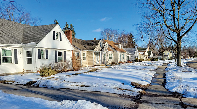
By the late 1950s, Waynedale’s separate pieces were becoming harder to separate. The 1957 aerial set is often used as a midpoint snapshot because it captures the area at a moment when neighborhoods such as Old Trail, Bella Vista/Allendale, and Indian Village were already visible as organized residential blocks, with homes clustering near the Lower Huntington corridor and nearby businesses. It is also the year Waynedale was annexed by Fort Wayne, a change that helped align services and long term planning across what had been separate edges.
The early 1960s added another layer of togetherness, especially in lake oriented areas. A Waynedale News neighborhood spotlight reports that the Lake Shores Community Association was incorporated on January 24, 1962, comprised of 385 homes, and that houses in the neighborhood were built from 1962 through 2017. Paired with the 1964 aerial set, the Lake Shores and Stone Lake area is often cited locally as a point when the community’s postwar expansion becomes unmistakable.

Over time, business development followed the traffic. Services clustered along Lower Huntington and near the Old Trail crossroads because those were the shared paths. Neighborhoods became a community when repeat trips turned into familiar faces, local institutions, and common ground that belonged to everyone.

> Read More Information About Us
> More Articles Written By Our Staff
- BlackSnake Barber, A Classic Cut With A Personal Touch - March 31, 2026
- After the Storm, Take Time Before Hiring Contractors - March 31, 2026
- Public Meeting: Bluffton Road Trail - March 31, 2026